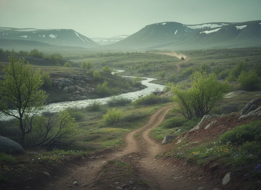
Flathead National Forest encompasses 2.4 million acres of northwestern Montana: one of the largest contiguous national forests in the lower 48, wrapping around Glacier National Park to the south and west and including the Great Bear Wilderness, the Mission Mountains Wilderness, and extensive working national forest land in Flathead, Lake, Lincoln, and Missoula counties. Within this vast forest, the USDA Forest Service designates an extensive OHV trail and forest road network for motorized access, concentrated in the areas outside the wilderness boundaries where working-forest management accommodates multi-use recreation. The Flathead's terrain is the classic western Montana Continental Divide landscape: dense Rocky Mountain conifer forest of lodgepole pine, western larch, Engelmann spruce, and subalpine fir; the U-shaped glaciated valleys carved by the Laurentide Ice Sheet and subsequent alpine glaciation; the exposed limestone and dolomite bedrock of the Rocky Mountain Front where the plains meet the peaks; and the drainage corridors of the Flathead River system whose North, Middle, and South forks define the forest's major access routes. The Swan Valley, the Flathead Valley, the North Fork corridor, and the Spotted Bear Ranger District all offer distinct OHV riding opportunities within the forest. ATVs, UTVs, and dirt bikes are permitted on designated motorized routes; full-size 4x4 trucks can access the extensive forest road network. Montana OHV registration is required. The Flathead National Forest supervisor's office in Kalispell (406-758-5204) coordinates district-level trail information across the four ranger districts.
Hours
Accessible approximately late May through November depending on elevation; higher routes close under snow. No day-use fee on National Forest land. Montana OHV registration required.
Phone
406-758-5204Trip openings, seasonal updates, and the occasional deal, straight to your inbox.
FAQ
Everything you need to know before you get started.
Have a question, or ready to book? Reach out and we’ll get right back to you.